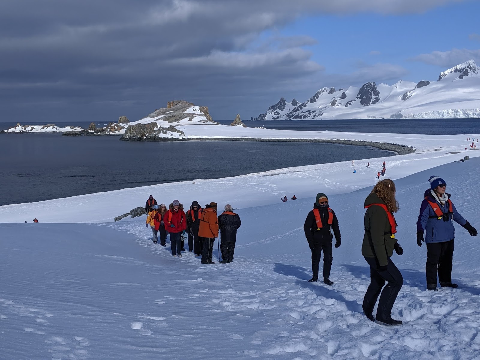
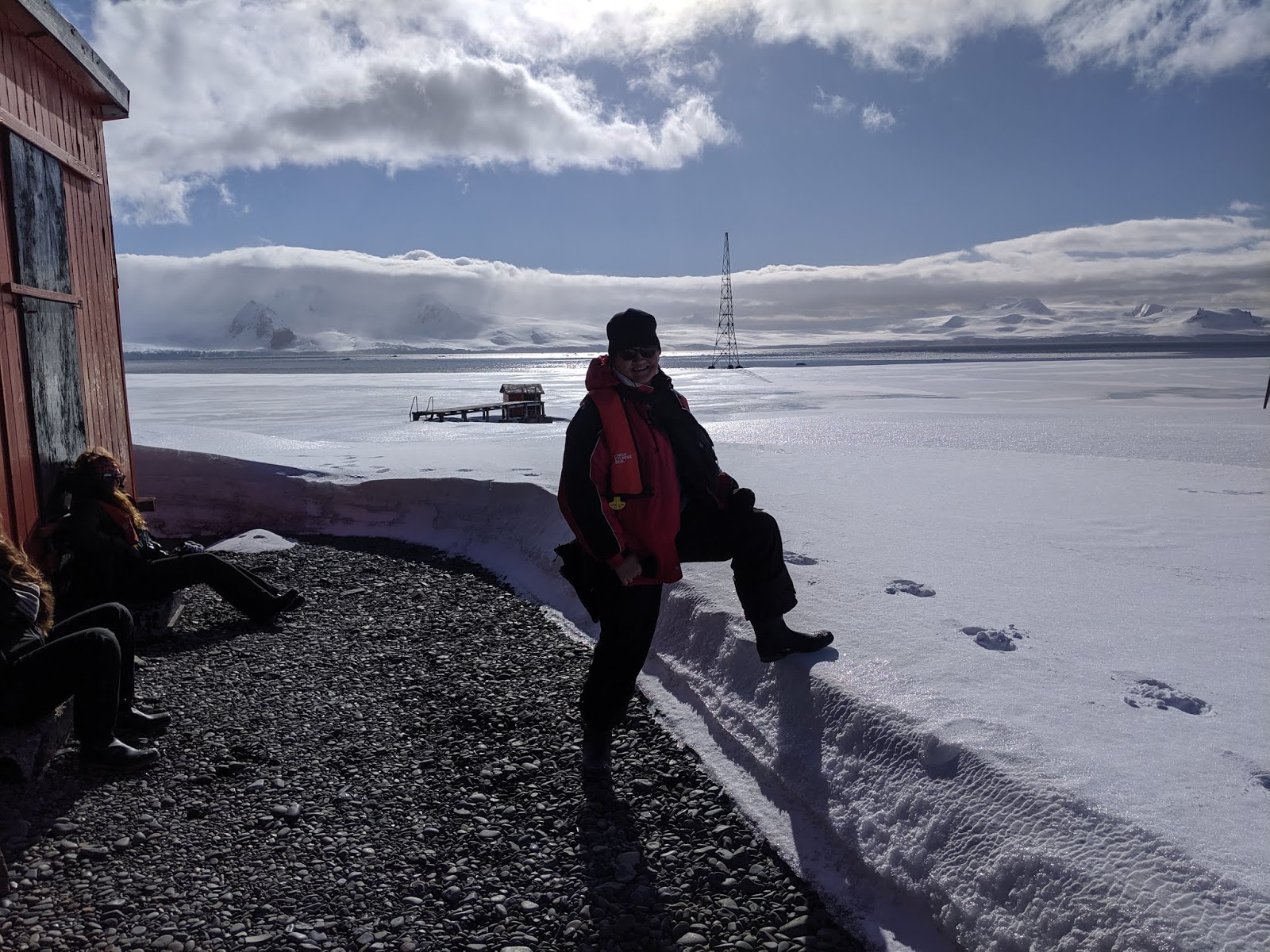
After our final two landings on the continent of Antarctica, we spent the next two days crossing the notoriously stormy and rough Drake Passage to return to the port of Ushuaia in southernmost Argentina. We were lucky that because the waves were 'only' two meters high, it wasn’t very uncomfortable. There was a lecture in the lounge after breakfast on whaling activity in Antarctica which helped to while away the time as there was nothing remarkable to look at outside!


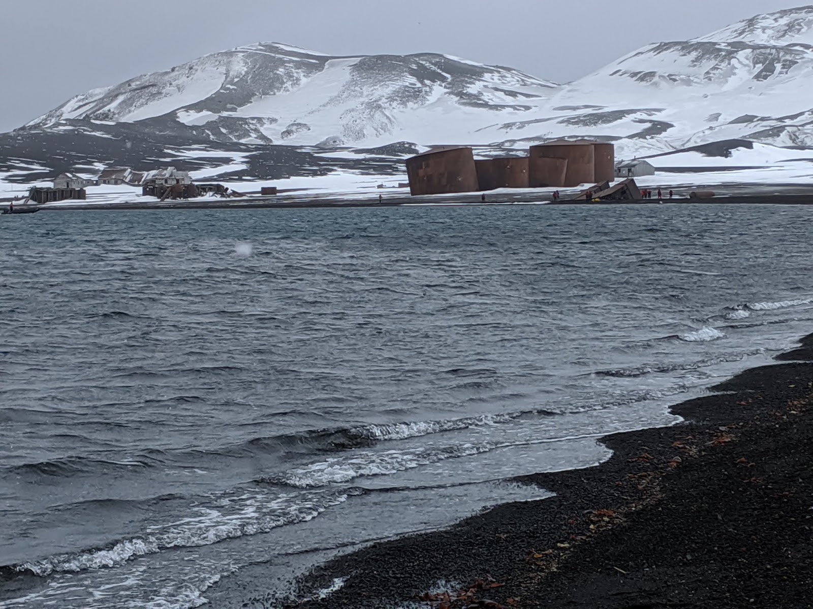
Around 1905 whaling involved catcher ships towing the whale carcasses back to onshore stations for processing on land. One of the main places was Deception Island which we'd visited and had seen the remains of the whaling station. There were so many carcasses on shorelines that it was decided to process the bones and their fat so nothing would be left behind on the island. Whale blubber was used to make cosmetics, and whale oil was used to light cities around Europe and the US. Meat was used to feed soldiers during WW I. Buttons and tools made from the ribs were particularly strong. Starting in 1926, fully independent factory ships were developed to process the whales on board.


Several of the whaling captains kept detailed log books, notes and charts so about 40 names in the South Shetland islands and Antarctic Peninsula came from the whalers and many more names associated with whalers in the South Orkney Islands.

It was alarming to learn that even a small rise in summer temperatures could have a significant impact in the Antarctic Peninsula with more ice-shelf retreat expected as well as more glaciers migrating inland with the effect of ice-free ground separating them from the sea as is already the case in southwest Greenland in the far north. I couldn't help but think that future visitors to the Antarctica Peninsula would likely be faced with a different view than what we'd just been lucky enough to witness.
Since direct human contact with Antarctica has only occurred over the last two centuries, much of the region has fortunately remained relatively pristine and unscathed, especially relative to other continents. However, as you can readily appreciate, human presence has inevitably resulted in the transfer of non-native organisms into the Antarctic. It has been estimated that at least 200 non-native species have established on the sub-Antarctic islands, with half being flowering plants and a third insects.


Our ten-day Antarctica trip had covered an amazing 1,811 nautical miles which was the equivalent of 3,354 kms! It had been a dream come true and one of the top five trips of all the trips we've taken since we began exploring the world back in 2013 in what we thought then would be our solo "Big Adventure." Little did we know that our first long trip to Iceland and Cambodia and everywhere in between would spark such a desire to see so much more of the world! What thrilled us about our relatively brief time in Antarctica were the opportunities to see so many penguins and many other animals in their native habitats once we'd traversed the Drake Passage, the exceedingly beautiful glaciers and icebergs bathed in blue, and learning from the crackerjack staff on board our ship so, so much about our last continent. It was the combination of all of those factors, plus meeting some special people aboard the ship, that made me dream about even returning to another area of Antarctica someday!

By the early 1890s whaling in the Atlantic Arctic was dominated by Norway and Scotland and was in decline due to over exploitation. As a result, attention turned to the possibility of a new whaling ground in the Southern Ocean and both countries sent out ships to explore Antarctica. The first boats arrived with no idea if there were whales in the southern hemisphere.
The blue and finback whales they saw were too big for the ships as they were about twice the size of the whales in the northern hemisphere. In 1904, whales were first killed on the South Georgia Islands, then in the Shetland Islands. Humpback whales were easier to catch because they swam co close to the ships and whalers depleted all that type of whales. Later, they caught just blue and finback whales after developing new technologies to kill the whales. Whalers then realized they needed a new way to process the whole animals.

The British government was the first nation to exert sovereignty in Antarctica, claiming possession of all the islands surrounding Antarctica and also the Antarctica Peninsula. That was why they charged a fee of about one percent of each whale caught anywhere by any other country. Most of the men in the whaling stations were farmers and laborers from Norway who had never set foot outside of their country prior to working in Antarctica.

In 1920, the International Whaling Commission established rules that only adult males could be caught because of concerns that ten thousand whales had been caught each season for 20 years. The whaling industry ended in the early 1950s as so many of the whaling ships had to be used during WW II and most were destroyed. A hundred years later, whales are now only recovering the numbers there had been during those whaling seasons. There is a quota now for Japan & Norway to hunt whales but not in Antarctica.

I learned that the climate warming that has occurred on the Antarctica Peninsula in recent years has affected the flora, fauna and sea ice but the most visible and dramatic impacts have been to the glaciers and ice shelves. The changes have been so striking that that even the redrawing of continental-scale maps has been necessary. What happens in the future depends on whether climate warming continues and, if it does, whether it's stronger in the winter or summer. That's because glaciers and ice shelves are most sensitive to changes in the number of days when temperatures rise above zero.

The Antarctic Peninsula is experiencing the fastest rate of warming in the southern hemisphere, equaled only by two locations in the North American Arctic and the Tibetan Plateau, also in the north. The warming has resulted in more energy available for organisms in terrestrial ecosystems, which means they have been more active for longer seasons and to grow and reproduce faster.
Since direct human contact with Antarctica has only occurred over the last two centuries, much of the region has fortunately remained relatively pristine and unscathed, especially relative to other continents. However, as you can readily appreciate, human presence has inevitably resulted in the transfer of non-native organisms into the Antarctic. It has been estimated that at least 200 non-native species have established on the sub-Antarctic islands, with half being flowering plants and a third insects.
I imagine you have also read that since glaciers have been retreating in most mountain ranges around the world, these losses account for much of the measured global sea-level rise. Though the loss from the Antarctic Peninsula is small and similar in magnitude to what's been happening in Alaska and the Canadian Arctic Archipelago, the area has been described as "an icon of global change."

The ship's chef had gone all out for our final dinner which we really appreciated. The Ushuaia could in no way be described as a luxury ship but we enjoyed our experiences with the crew and fellow passengers. Sorry for the fuzzy photos!


What Steven and I both especially liked about eating on board our ship the Ushuaia - 'dining' would be an exaggeration! - was that we had the freedom to sit at different tables at each meal so we had more interaction withe of the passengers. Naturally, we gravitated often to the same mix of about 20 people to learn more about them.
We were so fortunate to have two exceeding friendly and helpful waiters, Fabian and Ivo, who made every meal so pleasant and also knew most of the 90 passengers by name!

The officers were all decked out for the Certificate Ceremony after dinner. How spiff most looked compared to their usual casual t-shirts when few wore anything with the company's name.

Jo, a friend and extreme adventurer also from Colorado, was one of the first to receive her certificate indicating she'd traveled to Antarctica and landed on the continent.


Our Australian friends, Carol and Keith:


Fellow Australians Margaret and Mike accepting their certificates:
Carolyn had been a dear lending me her hiking poles when she decided not to go ashore on one excursion.

I 'dressed up' as best I could given the clothes I had brought with me for our final night at sea and the Certificate Ceremony with the captain. What had to pass for a dress was my nightie - shh, don't tell anyone! No mention had been made in the information we'd received ahead of time about the ceremony and the need for any 'fancy' clothes.

This was my Australian friend, Carol, and me vamping for the camera!

The Antarctic Treaty of 1959 and its related agreements manage all activities on the continent. I read that the system of international governance is unique and of global importance because it established Antarctica as an area of peace and science, setting aside territorial claims. However, of the many countries that have explored Antarctica, seven have staked claims in the region. As the claims of the United Kingdom, Argentina and Chile to the Antarctic Peninsula all overlap, there was considerable international tension in the 1940s and 1950s as well as disagreement between the Cold War superpowers of the USA and the USSR about their future use of Antarctica. 67 nations participated in the Antarctic Treaty but part of the ocean is still unprotected. For example, the Weddell Sea on the east side of the continent is unprotected by the Scientific Committee of Antarctic Research.
There are 14 articles in the Treaty which cover maritime, aerial and land operations. There are military operations but no guns are allowed in Antarctica. Geology, biology, physics and meteorology are the research projects undertaken in Antarctica. Most stations are located close to the shoreline and about seven countries have stations at King George Island. One of the crew members who had recently returned from spending 15 months at a research station talked about visiting with staff from different country’s stations, holding a mini Olympics, sharing research with other researchers, and celebrating national holidays together. Some stations are year-round but most are seasonal research stations because the weather in the winter doesn’t allow for outside research. Because of the compressed summer season allowing research, there are no days off for any of the researchers or staff.
Argentina has six seasonal stations but 30 all told because they were concerned about the prevalence of so many British stations. Our Chilean expedition crew leader, Pablo, indicated that some of his country’s stations may be empty, however. Russia & China each have five seasonal stations and Australia & US each have three. There are 30 countries with facilities in Antarctica; 83 stations combined including year-round and seasonal stations and 19 camps. Britain used to be a major power in Antarctica but it only has two stations remaining.

The oldest base in Antarctica is Orcadas Base on the South Orkney Islands and has been operational since 1904. It first belonged to Scotland but was subsequently given to Argentina. The highest year-round station is Base Vostok located at 3500 meters above the sea level. They found a lake and also the lowest temperature on earth recorded at 89 degrees below 0!
The most populated station with around 1,200 people working there in the summer is McMurdo owned by the US. It is so big it even has bookstores, traffic lights, ATM's, bars, etc! The American Amundsen-Scott South Pole Station is located at the geographic south pole. The first building was built by the US government in 1956 and is supplied from the McMurdo station via a highway located 1,600 kms away at the Ross Ice Shelf.

During the trip's final recap, Pablo mentioned that Argentina almost had a war with Chile over the official entrance to the 420-meter-deep Beagle Channel as there were three islands in dispute between the two countries. Britain was able to negotiate peace between the nations when they agreed the dividing line between the two countries would be where the glacier came down into the channel.
Pablo said our ship would have to wait until nighttime at the entrance to the channel for a ship transporting a pilot to come aboard our ship and bring us into Ushuaia port as our ship’s crew was not allowed to bring us into port. Pablo said he understood passengers’ desires to stay longer on the continent rather than allowing so much time on the return through the Drake Passage but that the crew never knows what the waves might be like on the return and therefore couldn’t take chances on not allowing sufficient time on the passage for all kinds of situations.

Our ten-day Antarctica trip had covered an amazing 1,811 nautical miles which was the equivalent of 3,354 kms! It had been a dream come true and one of the top five trips of all the trips we've taken since we began exploring the world back in 2013 in what we thought then would be our solo "Big Adventure." Little did we know that our first long trip to Iceland and Cambodia and everywhere in between would spark such a desire to see so much more of the world! What thrilled us about our relatively brief time in Antarctica were the opportunities to see so many penguins and many other animals in their native habitats once we'd traversed the Drake Passage, the exceedingly beautiful glaciers and icebergs bathed in blue, and learning from the crackerjack staff on board our ship so, so much about our last continent. It was the combination of all of those factors, plus meeting some special people aboard the ship, that made me dream about even returning to another area of Antarctica someday!
Next post: Back on land for just 24 hours discovering Tierra del Fuego National Park outside of Ushuaia in southernmost Argentina before embarking on a short cruise through part of Patagonia!
Posted on Boxing Day aka December 26th, 2019, at home in Colorado happily surrounded by all of our children and their spouses.